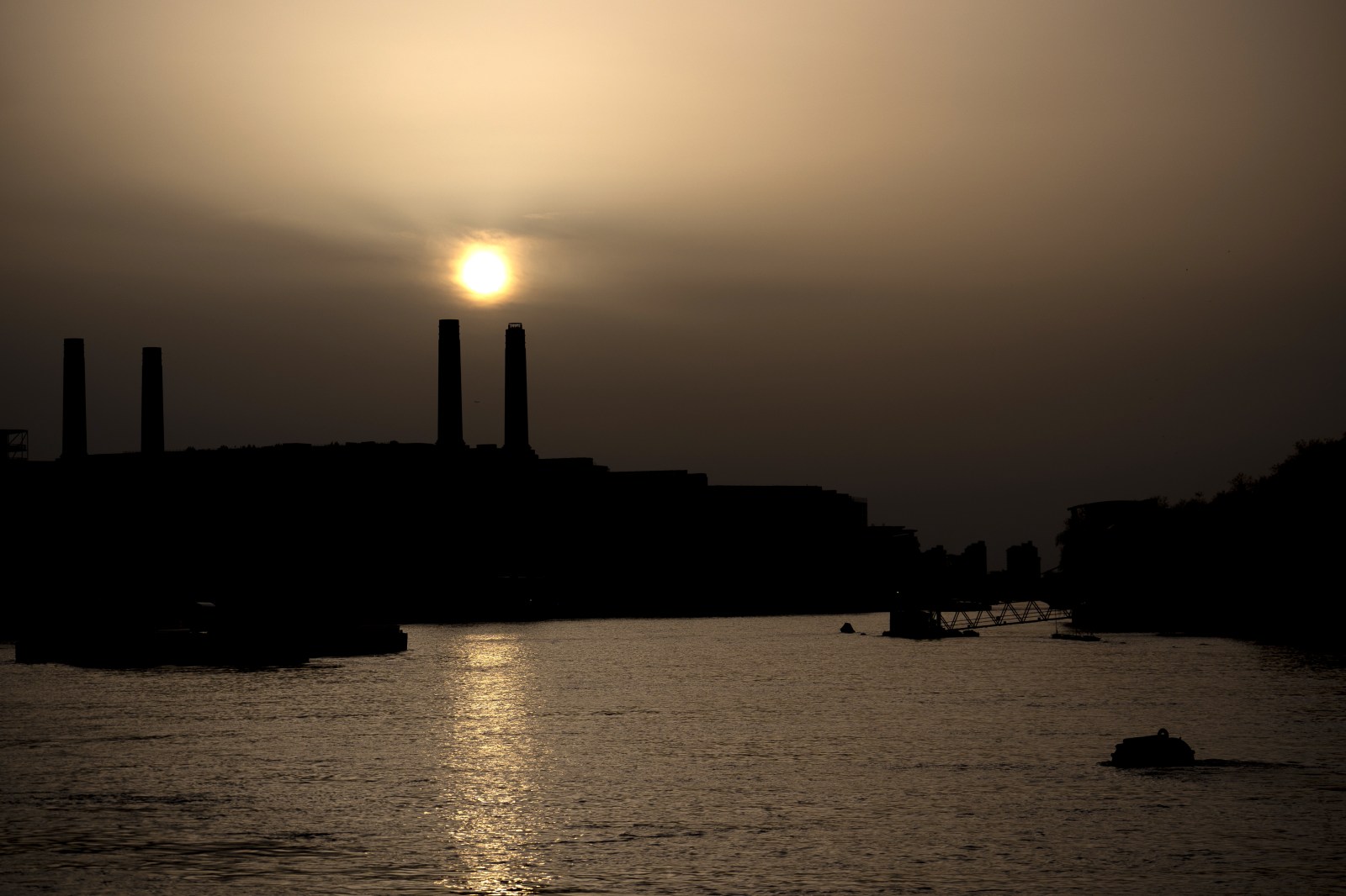
A massive plume of dust from Africa’s Sahara Desert is travelling across the Atlantic and is expected to impact parts of the southeastern United States. Residents in these areas may notice hazy skies, vibrant sunsets, and potential air-quality issues.
Forecasts and Predictions
Meteorologists tracking the Saharan Air Layer report that the dust cloud will likely reach Florida and the Gulf Coast soon. This phenomenon occurs during the peak of the Atlantic hurricane season and can significantly affect regional weather patterns. According to NOAA, the dry air associated with the Saharan Air Layer can suppress the development and intensification of tropical cyclones by creating less favorable conditions for storms in the Atlantic basin.
Tracking the Dust Plume
A tracking map illustrates the dust plume spreading from North Africa across the Atlantic Ocean towards the Caribbean and southeastern U.S. The greatest impacts are expected in Florida and the Gulf Coast. Although the dust concentrations decrease before reaching the continental U.S., they can still cause hazy conditions. Caribbean islands experience the highest dust concentrations initially, with dispersal occurring as the plume moves west.
Understanding the Saharan Air Layer
The Saharan Air Layer forms over the Sahara Desert during late spring and summer. Tropical waves carry dust particles high into the atmosphere, where easterly winds transport them across the Atlantic Ocean. NOAA notes that this dust layer can measure 2 to 2.5 miles in thickness and frequently travels to the Caribbean, Gulf, and U.S. from June to September.
Effects on Local Residents
Using NASA dust modeling, forecasters indicated that several dust plumes would move across the basin. Consequently, affected areas might experience hazy or milky skies, along with localized air-quality issues. People with asthma, allergies, or respiratory conditions could be impacted. Health professionals often suggest that sensitive individuals limit prolonged outdoor exposure when dust concentrations are high.
The most obvious effect will be hazy skies and unusually colorful sunrises and sunsets due to sunlight scattering through the dust. Additionally, NOAA mentions that thick dust layers can suppress thunderstorm development in certain regions. Although the dust isn’t likely to cause widespread hazardous conditions, those with respiratory illnesses might experience symptoms such as coughing or allergies. Health officials advise minimizing strenuous outdoor activities during these periods.
Impact on Hurricane Season
Forecasters monitor Saharan dust outbreaks as they can reduce the likelihood of tropical development. NOAA explains that the warm, dry air and strong winds of the Saharan Air Layer often hinder the formation and strengthening of tropical systems. Despite not eliminating hurricane risks, the dust can temporally suppress storm activity while present in the Atlantic.
Leave a Reply