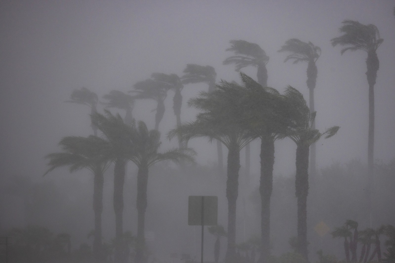
El Niño is set to impact the U.S. this winter more strongly than it has in decades, according to NOAA’s Weather Prediction Center (WPC). This phenomenon is intensifying across the Pacific Ocean and could result in severe weather for the U.S. over the coming months, extending into early 2027. The effects may be felt nationwide, with certain states facing particularly intense conditions.
Understanding El Niño
El Niño represents the warm phase of the El Niño–Southern Oscillation (ENSO), a recurring climate pattern caused by interactions between the Pacific Ocean and the atmosphere. Its counterpart, La Niña, occurs during the cool phase.
This pattern is characterized by unusual warming of sea-surface temperatures in the Pacific, which can bring stormy weather to the southern U.S. and drier conditions to northern regions. It also influences hurricane activity.
Tony Fracasso, a meteorologist with the WPC, explained that current sea surface temperatures in the eastern Pacific, near South and Central America, are above normal. This warming sets the stage for the upcoming winter.
Historically, strong El Niño events have aligned with extreme weather. The 1997-98 Super El Niño caused severe flooding in California and Peru, while the 2015-16 event set global temperature records and disrupted climate patterns.
States Likely to Face Greatest Impact
California and the Southeast may experience more intense storms due to El Niño. Fracasso mentioned that El Niño affects storm tracks across the nation, potentially bringing warmer air and keeping colder air from the lower 48 states.
Though every El Niño is different, past trends show increased rainfall for California during these periods. The South typically sees wetter conditions, with Gulf states and the Carolinas expecting more rain this year. Despite warmer averages, some cold air and snow could occur.
Meanwhile, areas like the Great Lakes might face drier conditions, as noted by Fracasso. NOAA’s August 13 discussion projected El Niño’s strengthening through the year’s end with a 69% likelihood of a record-breaking event dating back to 1950.
Other western states, including Nevada, Utah, and Arizona, might also experience increased snowfall in winter.
Expert Predictions on El Niño
Jeff Berardelli, a meteorologist with WFLA-TV, highlighted a forthcoming “boost” to El Niño, predicting “unprecedented events.” He noted a “major push of west winds in the Tropical Pacific” leading to further warming, potentially exceeding past records.
For the southern U.S. and Florida, Berardelli forecasts a strong subtropical jet stream, resulting in frequent fronts, severe weather, and consistent rainfall. California might also see additional winter rain.
A subtropical jet stream is a fast-moving band of winds in the upper atmosphere, generally near 30 degrees latitude on both hemispheres, as defined by NOAA.
The ‘Super El Niño’
Currently, this year’s event has been termed a “Super El Niño,” a label used informally for particularly strong occurrences. This descriptor was last used in 2015 and 2016 when the Pacific Ocean registered higher temperatures than usual.
Fracasso noted the complexity of this year’s El Niño, emphasizing the “unknowns” in its strength. He remarked on the intricate interaction between deep ocean currents and atmospheric conditions, which are challenging to model and fully understand.
Leave a Reply