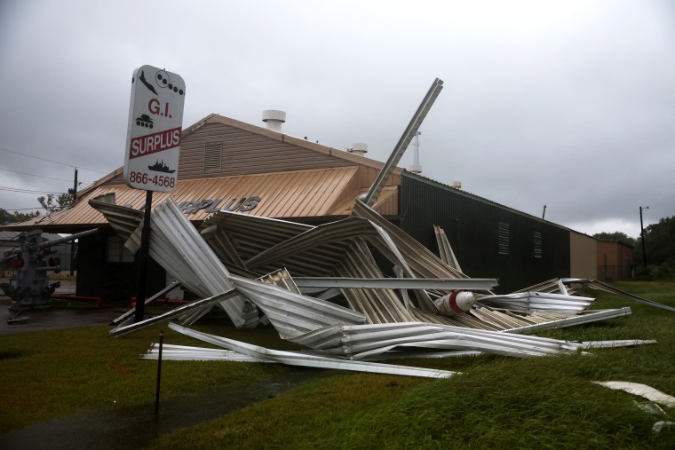
PORT ARTHUR, Texas — Tropical Storm Edouard has weakened into a depression as it moved through Texas, bringing heavy rains and strong winds. The storm initially made landfall near the Texas-Louisiana border with winds of 60 mph (95 kph), according to the National Hurricane Center. Despite losing strength, heavy rains and flooding are expected to continue through Wednesday.
Impact on Texas
Edouard’s arrival affected various parts of Texas, including Beaumont, located about 80 miles (130 kilometers) northeast of Houston. The city shuttered its offices and issued warnings to avoid traveling due to downed trees and non-functioning traffic signals. Flooded underpasses further complicated movement around the area.
More than 32,000 utility customers in Jefferson County experienced power outages as a result of the storm’s impact. Businesses, like Mike Gilbert’s surf shop on Crystal Beach, closed temporarily, anticipating worse weather conditions that didn’t fully materialize.
Conditions in Louisiana
In Louisiana, the situation was mixed. Cameron experienced intermittent rain and wind but potential flooding remained a concern. Connor Salvador, an RV park owner, noted the community’s familiarity with such storms, leading to a more measured response.
Activity in the Pacific Ocean
Meanwhile, the Pacific saw an uptick in tropical activity with three named storms circulating. Hurricane Lowell remains distant from Hawaii but is expected to disrupt marine conditions beginning Wednesday. Dangerous surf conditions are anticipated around the Hawaiian islands due to the hurricane.
Tropical Storm Marie, also in the Pacific and far from Mexico’s southwest coast, was expected to become a hurricane by Wednesday night. Baja California and southwestern Mexico might experience swells due to this storm.
Additionally, Hurricane Karina intensified to a Category 4 on Monday but is expected to weaken, as noted by forecasters on Tuesday.
Leave a Reply